
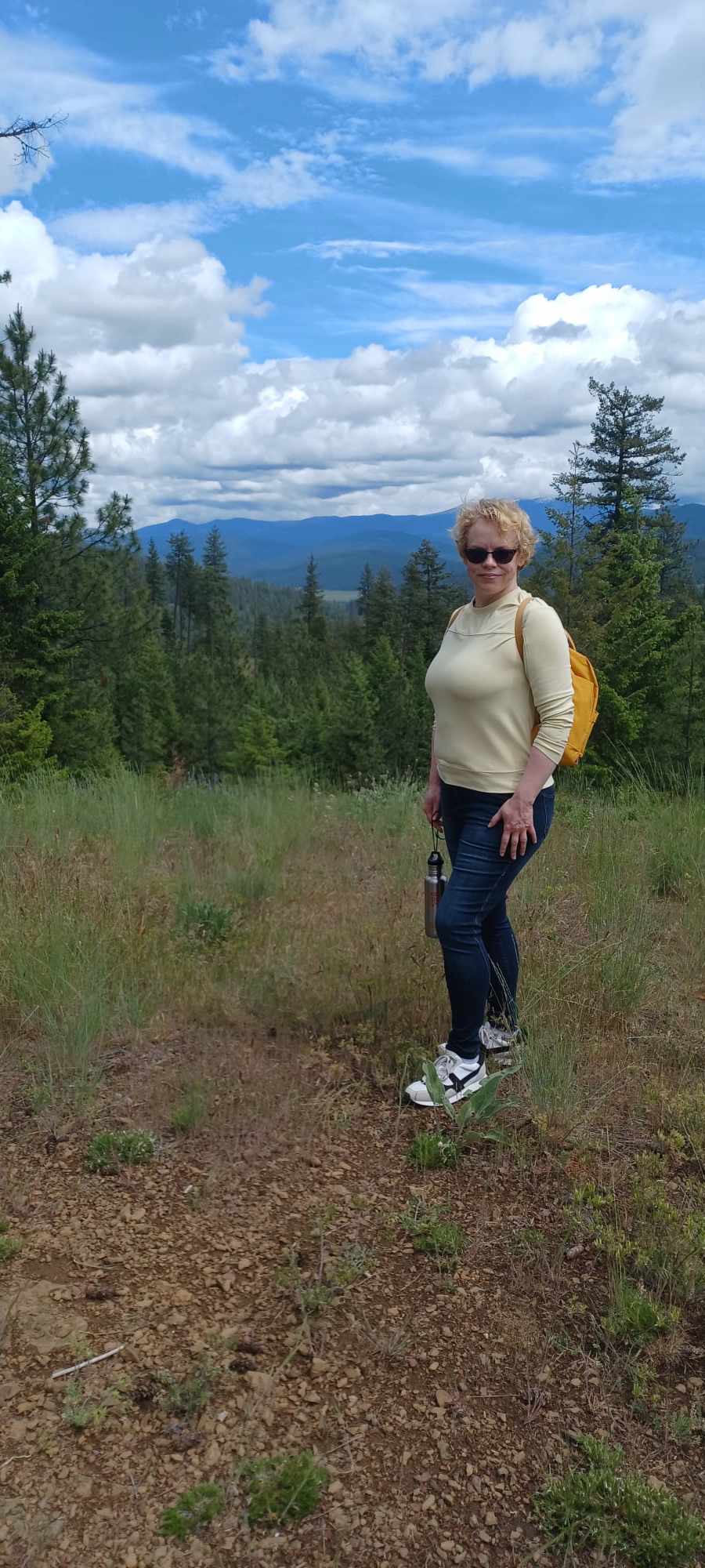
by Sophia Mattice-Aldous
Outdoor trekkers, rejoice. A new trail, all 9.6 miles of it, awaits on the Colville National Forest. The Salmo Passage Trail opened last month in north Pend Oreille County with a small ribbon-cutting ceremony that featured the trail’s benefactors, Seattle City Light, the U.S. Forest Service, Kalispel Tribe of Indians, and recreation and conservation groups. The trail connects the northern Peewee Falls Overlook to the southern Riverside Canyon Overlook, and is open year-round for hikers, class 1 e-bikes, and mountain bikes.
The new trail follows part of the journey the Kalispel people took from present-day Cusick to the Salmo River, a culturally significant site located just over the U.S.-Canada border in British Columbia. For thousands of years, the Kalispels traveled to the Salmo, the far northwestern boundary of the tribe’s 200-square-mile ancestral homelands, to seasonal fish camps. Later, European trappers, settlers, and miners used parts of the same route to travel along the Pend Oreille River.
The Kalispels lost access to their traditional salmon runs in the early to mid-20th century when the hydroelectric dams subject to the federal regulations were built without fish passage facilities on the Columbia and Pend Oreille rivers. The biggest is Grand Coulee Dam, which was built in 1941.
“It’s hard to describe how much this land and river meant to our people and still does,” said J.R. Bluff, director of language and culture for the Kalispel Tribe of Indians. “Not just the Kalispels but the Colville Tribes, too. And it still holds deep meaning for all of us here today, Native and white alike.”
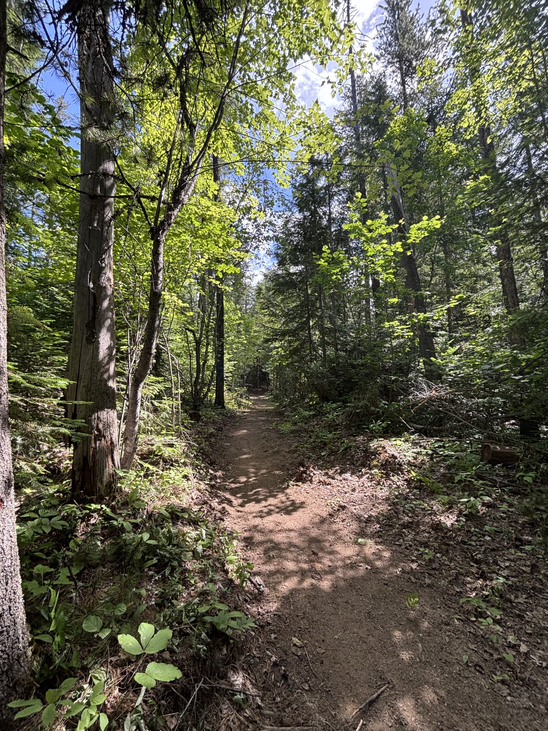 If you’re a fluffy marshmallow, like myself, this trail will provide some cardio with over 1,700-ft of elevation gain (one way) with the highest point at 2,853-ft., but you better believe it’s worth the extra lactic acid in your calves. The real treat is that the trail eventually opens up on gorgeous views to rival any Instagram model’s Only Fan’s page. Thoreau I am not, but it’s hard not to feel the spirit when you get to cast your eyes on panoramas like the Pend Oreille River and Z Canyon from angles you didn’t have access to before.
To reach the southern trailhead at Riverside Canyon Overlook, continue north on State Route 31 from Metaline Falls for approximately 6.1 miles, then turn left onto NF 172. Continue for approximately 1.2 miles and turn right into the parking lot.
To reach the northern trailhead at Peewee Falls Overlook, take State Route 31 north from Metaline Falls for 11.5 miles, then turn left onto Eastside Road. Look for the turnoff to the overlook about a mile before Vista House.
Sophia Mattice-Aldous is not a doctor, dietician, extreme sports enthusiast, or a mini-Sasquatch, though some of her exes may disagree with that last one. She just enjoys the opportunity to be outside and hike. If you have any recommendations where she should go next, email [email protected].
